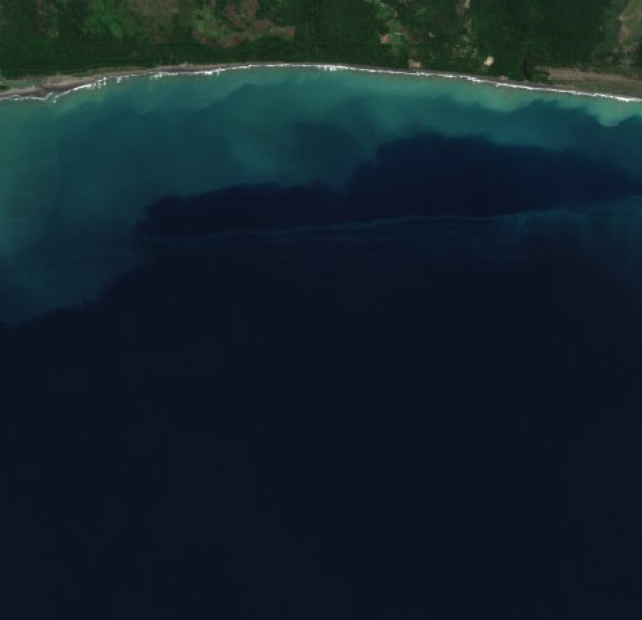
Clean rivers
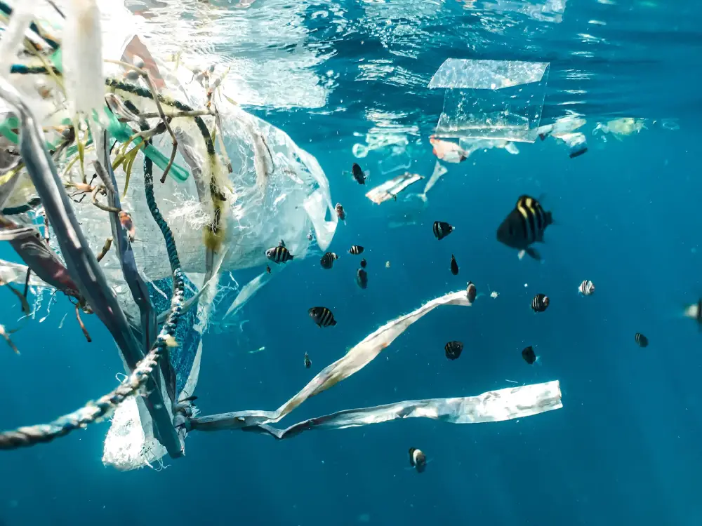
Healthy oceans
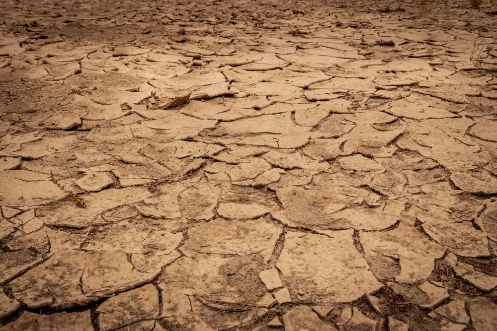
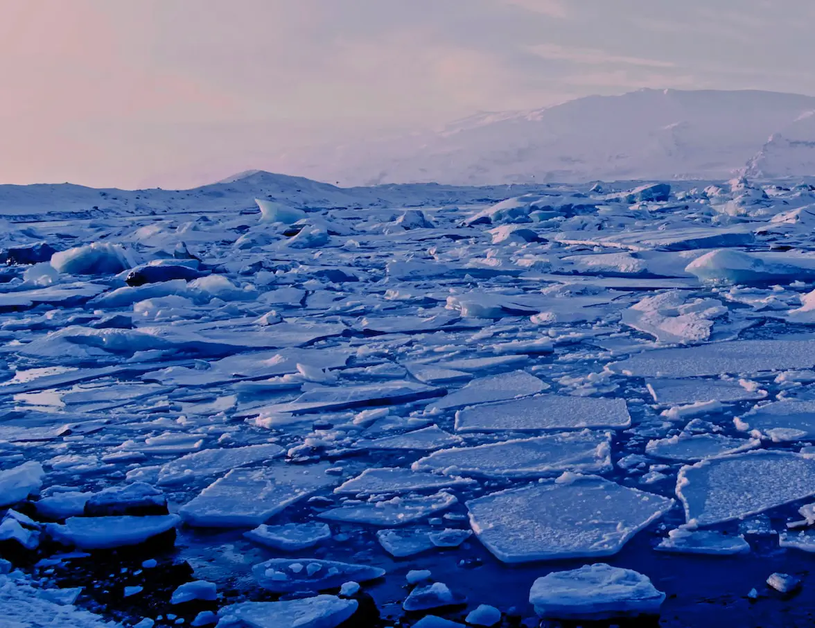
With rising global temperatures, melting polar ice caps, and more extreme weather patterns, it is essential to have reliable data about the state of our oceans and fresh water sources. Remote sensing and Earth observation technologies can provide us with an inside look at these vital resources.