Who are we?
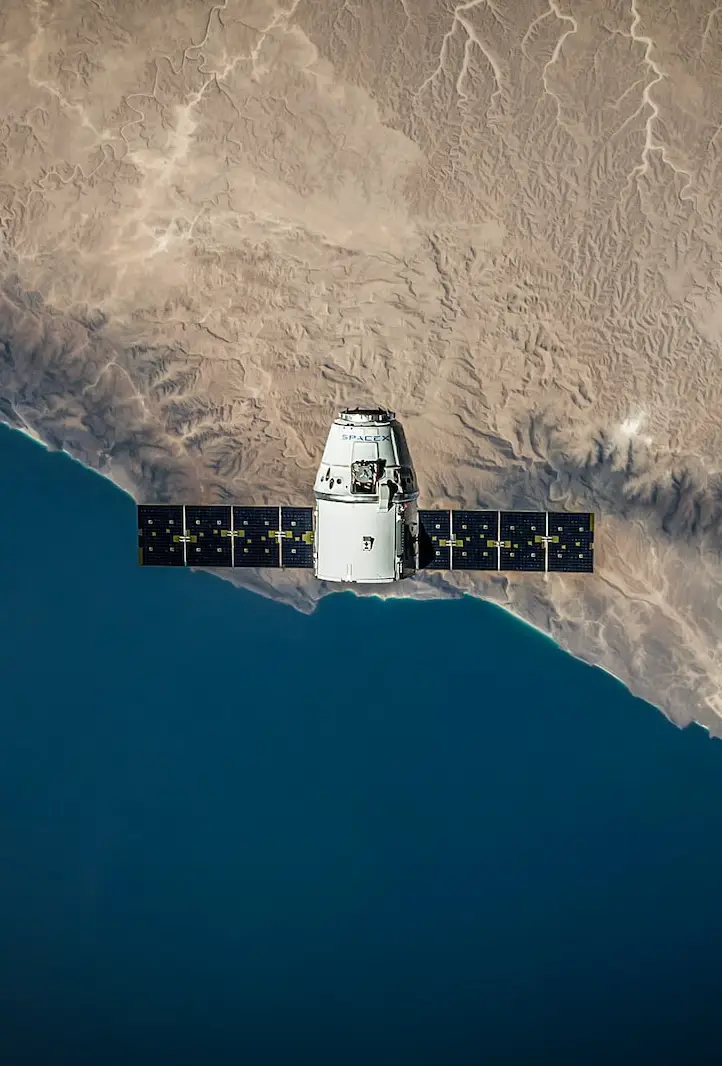
Atla.ai makes it easy to access and use aerial and satellite imagery. We are a team of specialists who
were tired of restrictive licenses and long negotiations. So we decided to do
something about it. You get a simple subscription model, with transparent pricing and licensing terms.
The data can be used for commercial purposes and to make and sell derived products. And if you need
advanced analytics services on top of the data, you can always contact us for a custom solution.
See recent news on our LinkedIn page